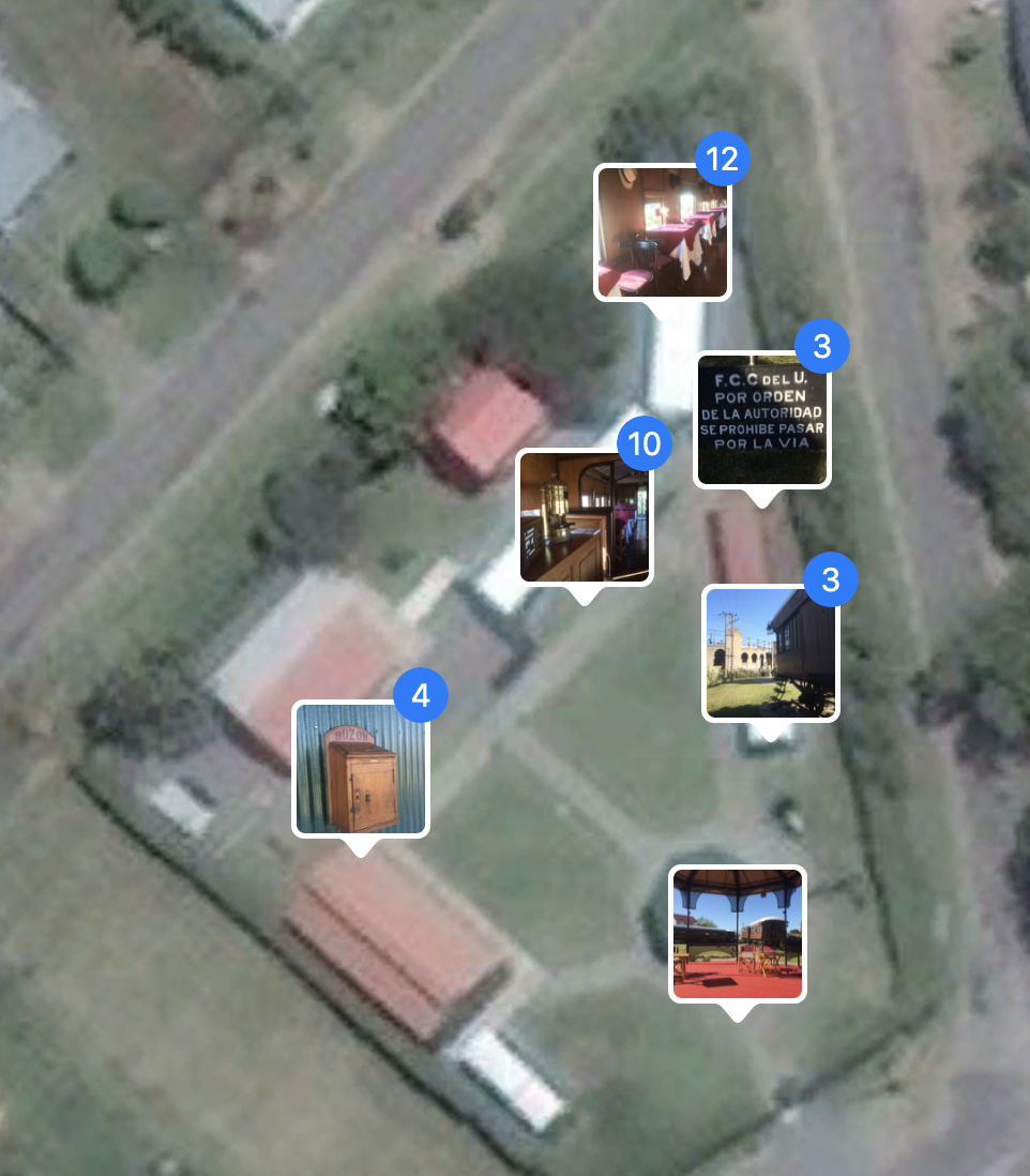
I am looking for a Mac app to display locations of the geotagged photos in a folder using google maps.
I don't want to import them from Photos because:
a) It is not practical to import several large images (10Mb+), get the info I am looking for (for example clicking on one of the sample thumbnails to see which photos were took in that place) and then delete all of them at the end.
Why that? Because I don't want Photos Library increased (it is linked to iCloud) .
.
b) I don't like encapsulated data, specially because I access image folders from other computers in other OS.I know it is possible using Lightroom but I am looking for a solution where I don’t have to pay majority of the features when I want just a map.
an interactive map where I can see images and explore them is a needed function
Edit 1: Google Maps because it seems to me that it has more information. I also has Street
Comment 1: I am having a very simplified screen, no way to just put a thumbnail instead of a large photo, no preview screen
